
Hudikot
हुडिकोट
Motorbike only
About this place
Hudikot is in Kaski, Gandaki Province, Nepal, at 1,140 m elevation (other source). Last dated first-hand observation: 1 Nov 2023 (more than a year ago).
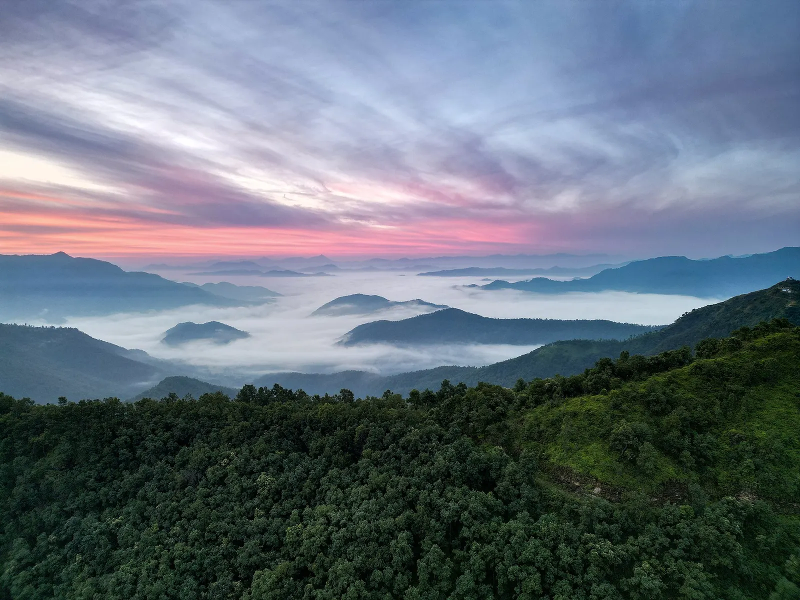
Hudikot is an open hilltop at 1,140 m in Bharat Pokhari, Pokhara-33, south-east of the city, with the old Kot Bhairav shrine on top. It looks north to Machhapuchhre and the Annapurna range and down on the Seti river and the lakes of Lekhnath. Buses run to Maniyal Danda, from where it is a 10 to 15 minute walk; private vehicles can drive up. Groups from Pokhara camp on the hilltop with their own tents.
Getting there
Motorbike only · 15 min walk
DirectionsMotorbike only · 15 min walk
How to get there
- Maniyal Danda, Bharat Pokhari (10-15 minutes on foot)
- Kot Bhairav temple (Malla-era hill-fort shrine) on the hilltop; Deurali Devi temple on the hiking route; Hudikot View Point restaurant below the top
- Road to Maniyal Danda chowk, Bharat Pokhari (district road 40DR016 in OSM), about 300 m below the top
- Maniyal Danda bus park / chowk
- Buses stop at Maniyal Danda bus park; private vehicles can continue to Hudikot itself
- Pokhara city buses via Birauta, and local minibuses from Pokhara via Powerhouse and Gagangauda, ran to Maniyal Danda in 2020. By own vehicle: Pokhara-Dobilla-Bharat Pokhari, or from the Prithvi Highway at Tallo Gagangauda via Lamgadi; about 17 km from Pokhara.
- 10 to 15 minutes uphill on foot from Maniyal Danda bus park. Longer hike: 9 km from Powerhouse Chowk on the Prithvi Highway via Musetunda, Tiklang, Malagiri, Dharapani and Maniyal Danda.
- 15 min (reported by a visitor)
- Easy
Facilities and ground
- Short uphill walk from the bus park; own vehicles can drive up
Fees and permissions
- On the edge of the Lake Cluster of Pokhara Valley Ramsar site (an international wetland listing); not in a national park or the Annapurna Conservation Area
27 things nobody has reported yet
Community
Condition reports
Photos · 1
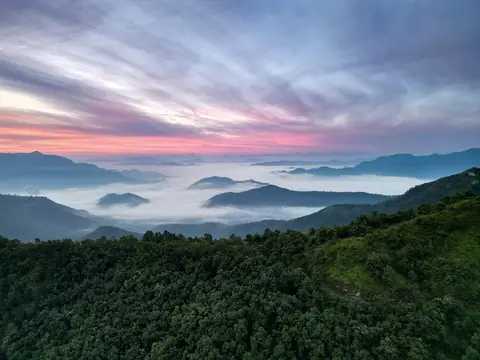
Dawn over the hills, seen from Hudikot. Photo: Chillionaire rohit / Wikimedia Commons, CC0
Deleted user · 1 Nov 2023
Community reports are personal observations on a given date. They are not verified by campinnepal and are not safety advice. Check locally before you go.
Be the first to share something about this campsite
Gear rental nearby
See all vendorsNo vendors listed within 40 km.