
बेथानचोक नारायणस्थान
Bethanchok Narayansthan
उपलब्ध छैन
सवारी पहुँच छैन
यस ठाउँबारे
Bethanchok Narayansthan Kavrepalanchok, बागमती प्रदेश, नेपालमा २,९२४ मिटर उचाइमा पर्छ (OpenStreetMap)। पछिल्लो मिति सहितको प्रत्यक्ष अवलोकन: डिसेम्बर २१, २०२४ (एक वर्षभन्दा पुरानो)।
बेथानचोक नारायणस्थान काभ्रेपलाञ्चोकको बेथानचोक गाउँपालिकामा पर्ने महाभारत लेकको टुप्पो हो, जहाँ सानो नारायण मन्दिर र बस्नका लागि एउटा साधारण पक्की पाटी छ। उत्तरतिर हिमशृङ्खला र दक्षिणतिर तराईको फाँट देखिने भएकाले सूर्यास्त र सूर्योदय हेर्न मानिसहरू यहाँ टेन्ट टाँगेर बस्छन्। काठमाडौंबाट पनौती हुँदै ढुंखर्कसम्म बस चल्छ र त्यहाँबाट ३ देखि ५ घण्टा उकालो हिँड्नुपर्छ; मोटरसाइकल र जिप कच्ची बाटो हुँदै टुप्पोभन्दा करिब डेढ घण्टा तलसम्म पुग्छन्। डाँडामा पानी र पसल छैन, त्यसैले खानेकुरा र पानी सबै आफैँ बोकेर लैजानुपर्छ र फोहोर फिर्ता ल्याउनुपर्छ।
पुग्ने बाटो
सवारी पहुँच छैन · २४० मिनेट हिँडाइ
बाटो देखाउनुहोस्सवारी पहुँच छैन · २४० मिनेट हिँडाइ
कसरी पुग्ने
- Dhunkharka (Dhungkharka) bazaar, Bethanchok Rural Municipality. No settlement on the hill itself.
- Small Narayan (Vishnu) temple and a Shiva shrine on the summit; one bare concrete shed and a few tin sheds beside them.
- Panauti-Khopasi-Dhunkharka road; a dirt road climbs on from Geldung (Dhunkharka) towards the summit.
- Dhunkharka bus park (the trail and motor track cross the Patne Khola bridge), or the end of the dirt road above Geldung where the stone staircase starts.
- उपलब्ध · Unattended open space at the end of the dirt road above Dhunkharka; vehicles are left at the owner's risk. Bring a good lock.
- Buses stop at Dhunkharka. Motorbikes and four-wheel-drives continue on the dirt road to a parking spot at the foot of the staircase, about 1 to 1.5 hours' walk below the summit.
- Blacktop from Kathmandu through Banepa and Panauti to Khopasi, then partly gravel and rough to Dhunkharka; above Dhunkharka a steep, bumpy dirt track. The floods of 27-28 September 2024 washed out parts of the Panauti-Dhunkharka road; buses were running again by 2026.
- Bus from Kathmandu (Ratna Park or Koteshwor) to Panauti, about 1 to 2 hours; change to the local bus Panauti-Dhunkharka, about 45 minutes to 1 hour 45 minutes. A direct Kathmandu-Dhunkharka bus also runs. Buses to Dhunkharka are few, so start early.
- From Dhunkharka a climb of roughly 1,000 m: 3 to 5 hours on the motor track and forest trail (6 hours with heavy loads in the monsoon). From the dirt-road end, a stone staircase via Thulachaur and Ghodabandhe takes 1 to 1.5 hours. Other routes come from Kamidanda (about 4 hours) and from Sola Bhanjyang via Nangedanda (about 2 hours). The last stretch is steep.
- २४० मिनेट (भ्रमणकर्ताले बताएको)
- मध्यम
सुविधा र जमिन
- उपलब्ध
- छैन
- No bins or collection at the summit; carry all rubbish back down.
- No written rule found. The summit is ringed by community forest: a forest fire in January 2025 burned about 100 hectares here and visitors were asked to stay away for a week. Campers report lighting fires with dead wood; take great care in the dry season.
- None on the hill. Shops in Dhunkharka bazaar, where the walk starts.
- Hotels and eateries in Dhunkharka bazaar and along the road a few kilometres above the bus park; nothing at the top.
- Homestays and small hotels in Dhunkharka, including Bethanchowk Village Community Homestay and Mount Mahabharat Homestay & Retreat (45 to 60 minutes' walk above the bus park, 1.5 to 2 hours below the summit), which also arranges tents and guided camping.
शुल्क र अनुमति
- आवश्यक छैन
- Community forests of Bethanchok and Khanikhola rural municipalities (including Bethanchok Narayansthan and Narayansthan community forests). Not a national park.
- Fog, rain, leeches and a slippery trail; landslides cross the old forest trail and the Panauti-Dhunkharka road can be cut (it was in late September 2024).
- Snow can fall on the summit between Mangsir and Phagun; nights go well below freezing.
१७ कुरा अहिलेसम्म कसैले बताएका छैनन्
समुदाय
अवस्था रिपोर्टहरू
फोटोहरू · ३
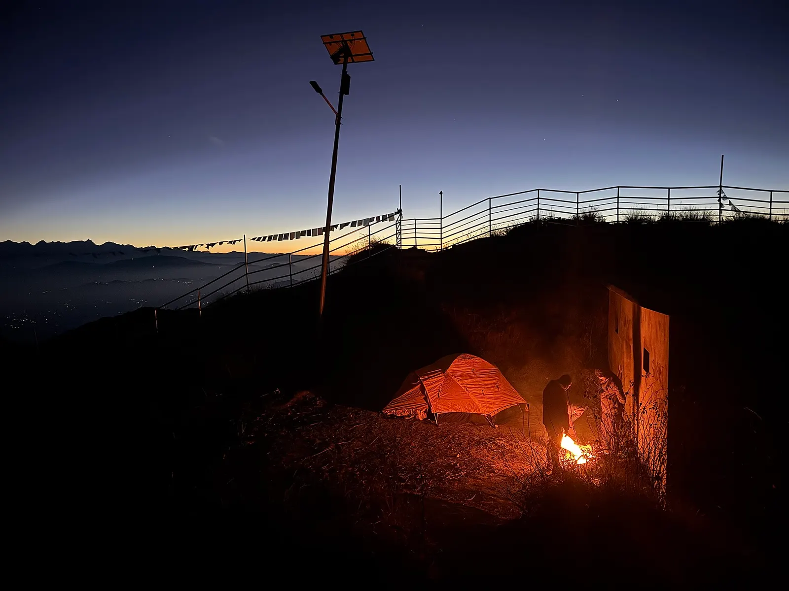
A tent beside the hilltop at Bethanchok Narayansthan before dawn. Photo: Shreemanandhar / Wikimedia Commons, CC0
हटाइएको प्रयोगकर्ता · डिसेम्बर २१, २०२४
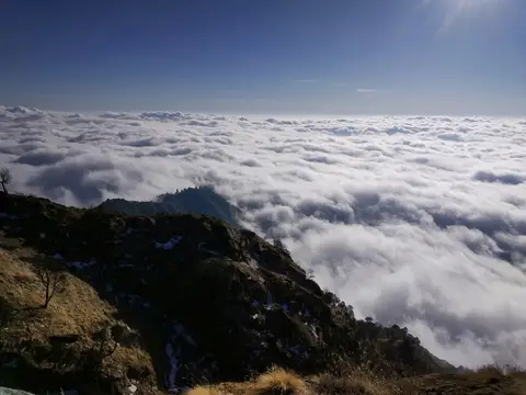
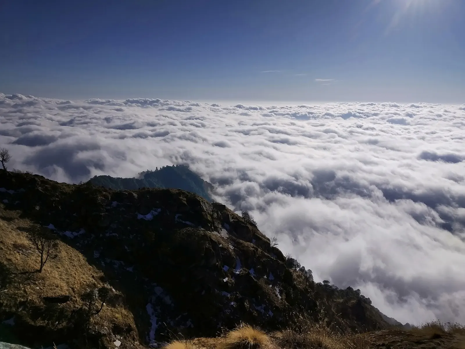
Sea of cloud below Bethanchok. Photo: Rkhadka75 / Wikimedia Commons, CC BY-SA 4.0
हटाइएको प्रयोगकर्ता · मार्च ०९, २०२०
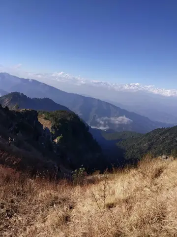
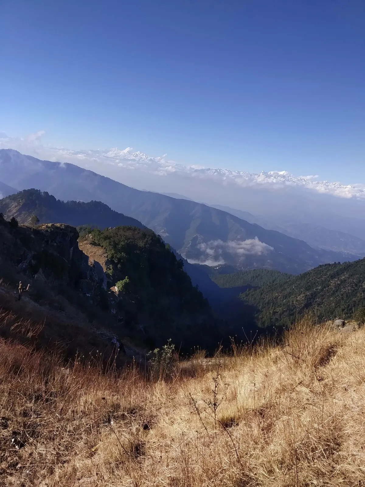
View from the Bethanchok ridge. Photo: Rkhadka75 / Wikimedia Commons, CC BY-SA 4.0
हटाइएको प्रयोगकर्ता · मार्च ०९, २०२०
सामुदायिक रिपोर्टहरू कुनै निश्चित मितिका व्यक्तिगत अवलोकन हुन्। campinnepal ले तिनको पुष्टि गर्दैन र यी सुरक्षा सल्लाह होइनन्। जानुअघि स्थानीय रूपमा बुझ्नुहोस्।
यो शिविरस्थलबारे केही सेयर गर्ने पहिलो बन्नुहोस्
नजिकै सामान भाडा
सबै विक्रेता हेर्नुहोस्- Rent My Tentसम्पर्क प्रमाणित
Lalitpur, Lalitpur,municipality word no.27 · ३०.३ किमी (सिधा दूरी)
लिने समय: Pickup Hours: 24 Hours (24/7) Example: Sunday–Saturday: 9:00 AM – 9:00 AM (next day)